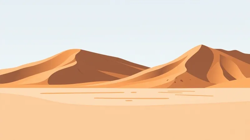
Sossusvlei in Namib-Naukluft Park: dunes and the clay pan
How Namib sands and the Tsauchab River shaped a distinct landform
Table of Contents
Sossusvlei in Namib-Naukluft Park brings together towering sand dunes and a clay pan. The dunes describe the surrounding sand landscape; the pan is a distinct landform whose formation is linked to shifting sands blocking a river’s course.
What is Sossusvlei: dunes, a clay pan, or both?
Both are essential to understanding Sossusvlei. The Namibia Tourism Board’s national parks overview identifies Sossusvlei’s towering dunes among the attractions of Namibia’s largest conservation area. Its southern-region account describes the clay pan and explains how it formed.
The distinction matters: a description of the dunes tells only part of the story. The pan is not another name for a dune, but a separate feature within the sand landscape.
How did shifting sands form the clay pan?
According to the Namibia Tourism Board’s southern-region overview, shifting sands of the Namib blocked the course of the Tsauchab River, forming a clay pan.
The relationship is straightforward: moving sand obstructed the river’s course, and the clay pan formed as a result. This account connects the dunes and the pan without treating them as the same landform. It explains formation rather than present-day water conditions.
How does Sossusvlei fit into Namib-Naukluft Park?
Sossusvlei’s dunes and clay pan belong to a park with several distinct landscape types. The Namibia Tourism Board’s Namib-Naukluft Park overview lists sand dunes, Sesriem Canyon, gravel plains, the Naukluft Mountains, inselbergs in the north and ephemeral rivers.
These features provide context for Sossusvlei: Namib-Naukluft is not solely a dune landscape. They are park-wide features, not a list of nearby stops or a suggested combined route.
Where can you explore a Sossusvlei itinerary next?
Namibia Travel Guide’s three-day Sossusvlei page offers a focused next read for itinerary research. The accommodation directory is the broader browsing gateway, while the regions and bases guide provides context for organising a Namibia journey.
Namibia Travel Guide is an independent editorial affiliate guide, not the tour operator.
FAQ: Sossusvlei dunes and the clay pan
Is Sossusvlei only a dune landscape?
No. Sossusvlei brings together towering sand dunes and a clay pan. The dunes form the surrounding landscape, while the pan is a distinct landform.
What formed the Sossusvlei clay pan?
The Namibia Tourism Board describes shifting Namib sands blocking the course of the Tsauchab River, forming the clay pan.
Which national park contains Sossusvlei?
Sossusvlei is in Namib-Naukluft Park.
What other landscapes does the park contain?
The park’s listed features include Sesriem Canyon, gravel plains, the Naukluft Mountains, northern inselbergs and ephemeral rivers, alongside sand dunes.
To move from landscape background to itinerary research, explore the three-day Sossusvlei page.
Sources
Namibia Tourism Board references, with source summaries recorded on 14 October 2026.
- National parks overview — Sossusvlei’s towering sand dunes.
- Namib-Naukluft Park overview — the park’s landscape features.
- Southern-region overview — clay pan formation through shifting sands blocking the Tsauchab River’s course.
Before You Go: Quick Planning Checklist
- Check the weather and current local conditions for your travel dates.
- Confirm your departure base, pickup and onward transfers.
- Book your tour and hotel with flexible options when possible.
- Read local safety guidance before excursions.